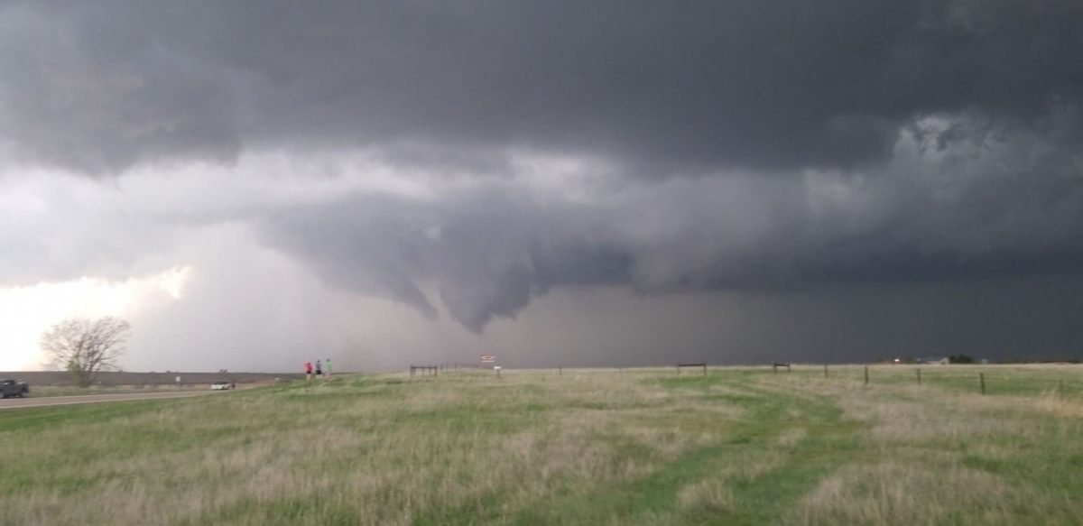
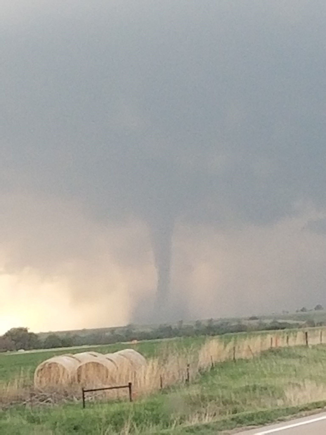
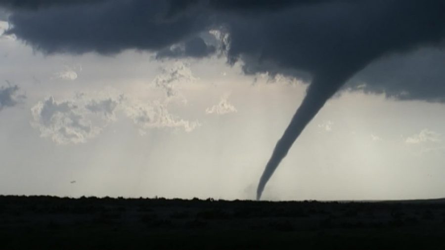
If you’re in the central U.S., you can wave goodbye to warm weather—at least for now. A messy weekend of heavy rain, strong winds and large hail awaits some states in the region.
“We’d say welcome to summer but, that streak (of the past few days of sunshine) will end today,” the National Weather Service warned Kansas City.
“These storms will also produce periods of heavy rain that will once again saturate soils & set the stage for increased flood potential this coming Tue when the next round of heavy rain moves in,” the weather service predicted for Missouri.
Strong to severe storms are possible on Saturday. Make sure you know what to do in different severe weather hazards. #mowx #kswx pic.twitter.com/G8ULngskun
— NWS Springfield (@NWSSpringfield) May 17, 2019
That’s right, there’s another round.
There are “better chances” for damaging winds and golf-ball-sized hail Saturday afternoon and evening, the weather service said. In eastern Iowa, dense fog is possible as strong thunderstorms aim for the region.
Some dense fog may develop into portions of eastern Iowa as well tonight. https://t.co/zJJA9wJsfN
— NWS Quad Cities (@NWSQuadCities) May 18, 2019
The threat of severe storms will spread across a vast area Saturday, including Texas to southern Minnesota, CNN Meteorologist Derek Van Dam said. The greatest threats will be across central to northern Texas toward Oklahoma, Arkansas and Louisiana.
In western Texas, a tornado watch is in effect until late Saturday morning.
“Impressive thunderstorm cells” forming over the area could be dangerous because many people are still sleeping and “any tornadoes that do potentially form will be hidden by darkness,” Van Dam said.

More than 70 million Americans are under the threat of severe weather Saturday, CNN Meteorologist Haley Brink said, with 80 million under threat for Sunday, when storms are predicted to move into the Great Lakes area.
This is Peak Tornado Season
The Plains have already been pounded by strong winds, and there have been 34 tornado reports since Friday morning across the central U.S., including Kansas, Nebraska and Texas.

The Storm Prediction Center warned of possible isolated tornado risks across central and eastern Nebraska and central and northern Kansas. Wind gusts of up to 70 mph were likely, it said.
This is peak tornado season, Van Dam said, “with an average of 268 tornadoes countrywide during the month of May.”
Flood Threat is Still High
Flood threats across the central Plains will remain high through next week, Van Dam said, with rainfall totals ranging from 1 to 5 inches.
“The heavy rain will impact areas that have received significant amounts of rain within the past several weeks,” Van Dam said. “The ground remains very saturated and may elevate the flood threat.”
Flash flooding and heavy rainfall are possible across central Texas, lasting through the early Saturday morning hours, the Weather Prediction Center said.
Mississippi River Broke Flood Records
The Mississippi River has broken records for some of the longest-lasting floods in years. The river in Mississippi has been above flood stage for 133 days straight at Natchez, 90 days at Vicksburg and 89 days at Greenville, the weather service said.
If it feels like the Mississippi River has been in flood for an unusually long time, it’s because it has. The river has been above flood stage for 133 consecutive days at Natchez, 90 consecutive days at Vicksburg, and 89 consecutive days at Greenville. ???????????? pic.twitter.com/dZE43FFlfv
— NWS Jackson MS (@NWSJacksonMS) May 17, 2019
In early May, the Mississippi broke its July 9, 1993 record, after heavy rainfall triggered flooding from Minnesota to the Gulf of Mexico, WQAD reported.
During that time, the flood gauge at Rock Island, Illinois, topped out at 22.63 feet. Earlier this month, its level reached 22.64 feet, WQAD said.

