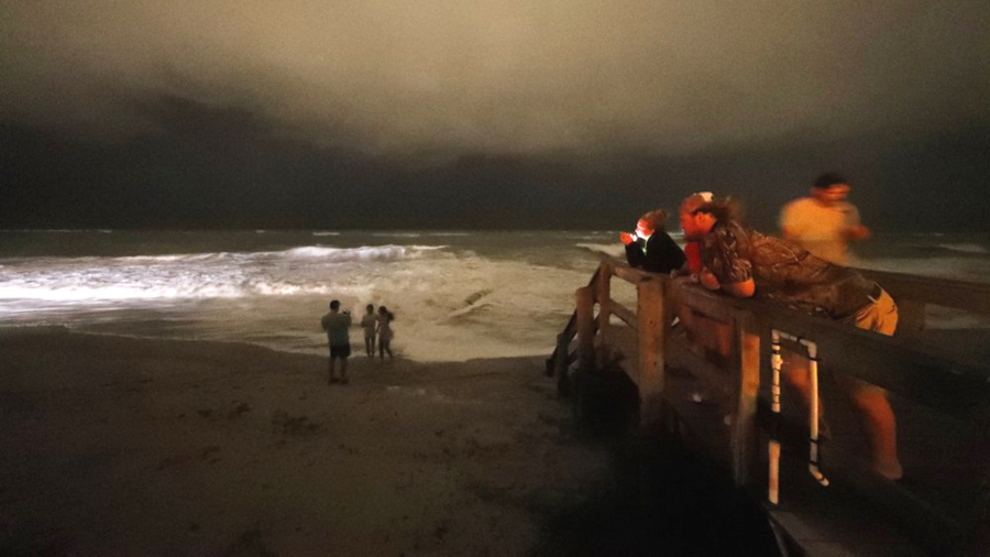
Update at 11:25 a.m. ET: Hurricane Dorian has weakened to a Category 2 storm as it continues to batter the Bahamas with life-threatening storm surge.
The U.S. National Hurricane Center says Dorian’s maximum sustained winds decreased Tuesday morning to near 110 mph (175 kph). But it’s expected to remain a powerful hurricane during the next few days.
Dorian is centered about 45 miles (70 kilometers) north of Freeport in the Bahamas and is moving northwest near 2 mph (4 kph).
Hurricane Dorian remains stalled over the Bahamas, according to the latest official forecast, but is expected to start tracking north-northwest later this morning.
The 5 a.m. update from the National Hurricane Center (NHC) on Sept. 3 showed virtually no change for several hours to the massive hurricane, which has hovered over the Bahamas, continuing to wreak havoc through the night as it weakened to a Category 3 storm.
That designation means winds have dropped to speeds of 120 mph from the 185 mph sustained speeds that battered the Caribbean islands as it made landfall as a Category 5 storm.
Here are the 5 AM EDT Tuesday, September 3 Key Messages for Hurricane #Dorian. For more information, visit https://t.co/tW4KeFW0gB. pic.twitter.com/NLOwTVDEat
— National Hurricane Center (@NHC_Atlantic) September 3, 2019
“Dorian is stationary just north of Grand Bahama Island,” said the NHC update. “A slow north-northwestward motion is expected to begin this morning. A turn to the north is forecast by Wednesday evening, followed by a turn to the north-northeast Thursday morning.”
The hurricane—which is currently packing hurricane-force winds across a 90-mile diameter—is expected to buzz “dangerously close” to the Florida coast late today and through Wednesday, according to the NHC. The hurricane is expected to come “very near” to the South Carolina coast Wednesday night and Thursday, and “near or over” the North Carolina coast late Thursday.
“Dorian is expected to remain a powerful hurricane during the next couple of days,” according to the NHC.
The latest “cone of possibility” shows the storm center potentially grazing the edges of Florida and Georgia, and making clear landfall in the Carolinas which lean out into the straight-line path the storm is expected to follow after swinging to the right off the coast of Jacksonville.

Tropical-storm-force winds currently reach up to 160 miles from the center of the storm.
Dorian hit the Bahamas over the weekend as a Category 5 hurricane, packing sustained winds of 185 mph, making it the second most powerful hurricane on record, tied with the Labor Day storm of 1935 as the strongest hurricane to make landfall in the Atlantic basin.
Dorian has so far claimed the lives of at least five people in the Bahamas, according to Prime Minister Hubert Minnis, who described the nation, where many homes have been destroyed, as being “in the midst of a historic tragedy.”
Millions of Americans in five states along the coastal counties of the Eastern Seaboard are subject to mandatory evacuations.
Mandatory evacuation in Georgia started at midday on Sept. 2 for the entire 15-mile-wide strip that runs between Interstate 95 and the Atlantic ocean.
The NHC warned that large swells are already affecting the Florida east coast and the coast of Georgia. “These swells are expected to spread northward along much of the remainder of the southeastern United States coast during the next couple of days,” according to the NHC. “These swells are likely to cause life-threatening surf and rip current conditions.”
From The Epoch Times

